|
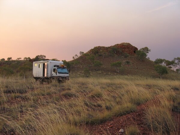
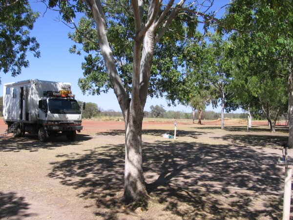
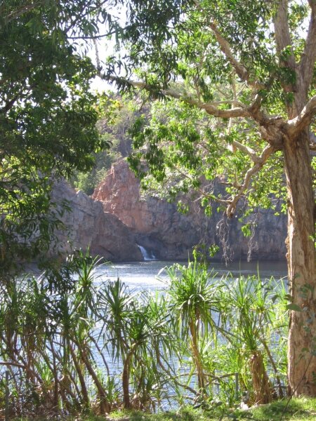
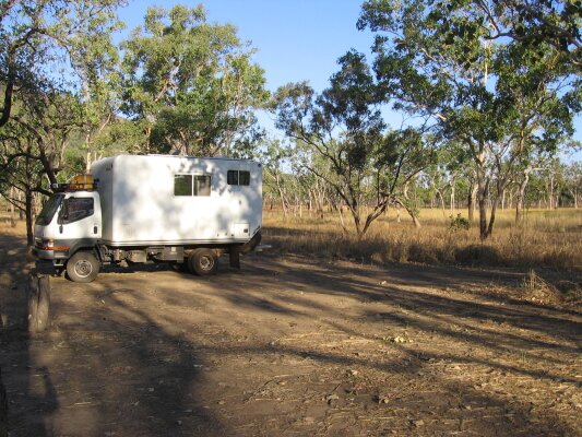
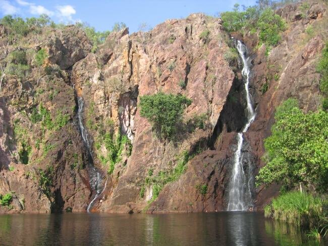
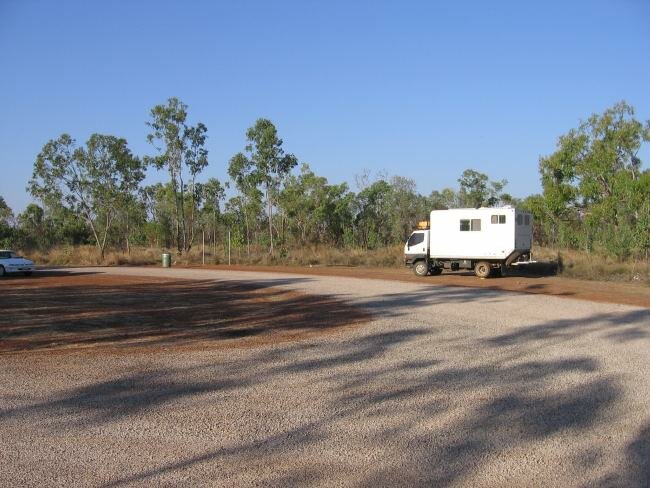
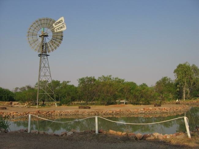
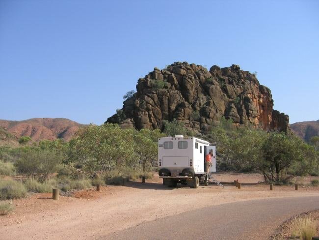
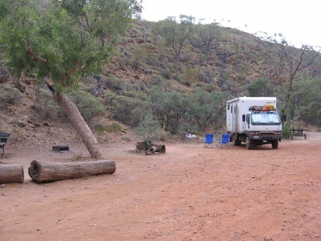
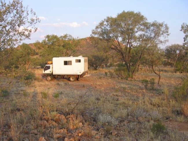
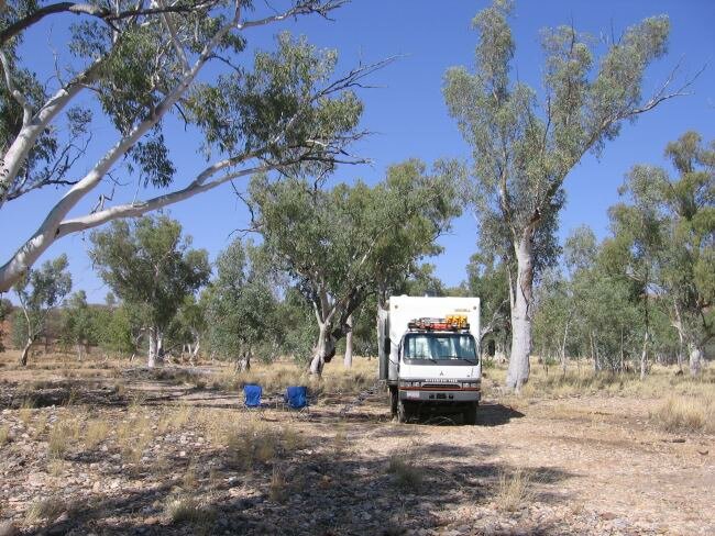
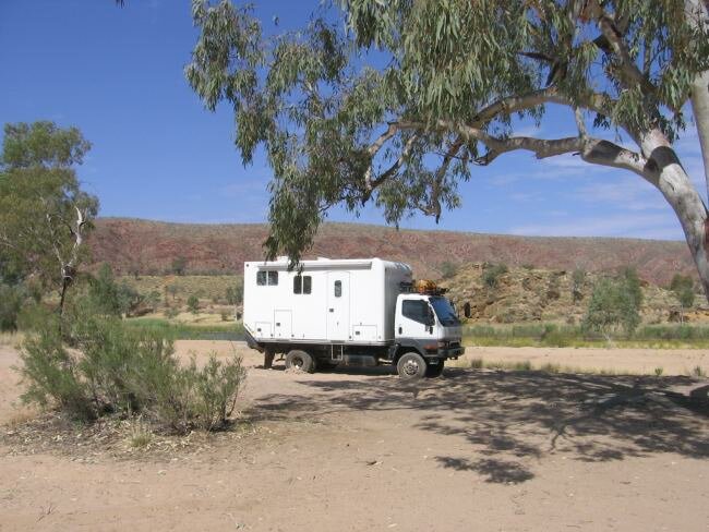
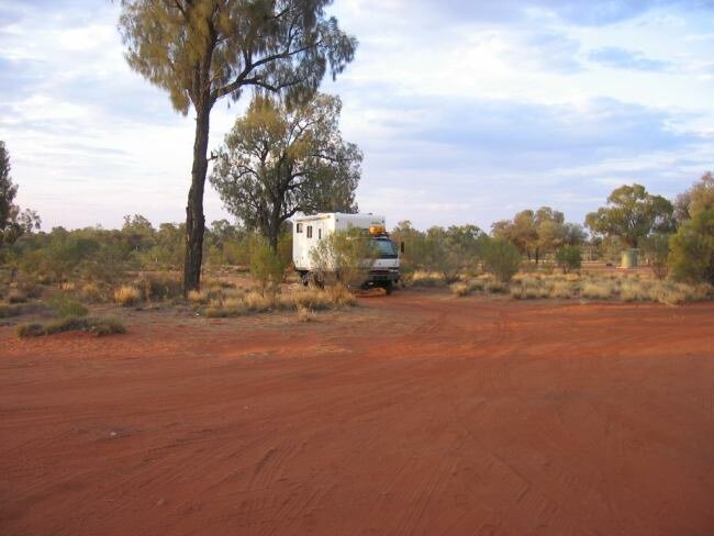
**Click on the photo to see the camping spot**
Northern Territory Camping Locations - The Top End Click to view the Queensland camping location page. Tennant Creek, free Dunmarra Roadhouse Elsey Nat'l Park, 12 Mile camp (Mataranka) Rest Area, 51k S of Katherine, free (twice NB and SB) Nitmiluk Nat'l Park, Kakadu Nat'l Park Gunlom Falls, Jim Jim Billabong, Merl Campground, Aurora Kakadu campground Darwin Litchfield Nat'l Park, Wangi Falls Camp Katherine, Riverside Resort (wifi) Rest Area, Mataranka South, free Renner Springs Roadhouse Rest Area, 50km So of Wycliff Well, free Tropic of Capricorn, Rest Area 20k north of Alice Springs, free Corroboree Rock Conservation Area, 46km E of Alice Springs, free Trephina Gorge NP, 50km E of AS, pay Arltunga, wild camp approx 10km w of park, free Standley Chasm Rd, "Ghost Gum" camp, free Finke Two Mile Bush Camp, Glen Helen, free Lasseter Hwy Rest Area, 101km W of Erldunda, towards Uluru, free Yulara, Ayers Rock Camp Ground, pay Kulgera area, Rest Stop at NT/SA Border, free |