|
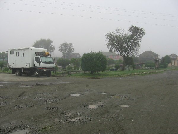
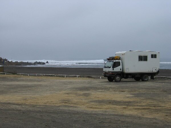
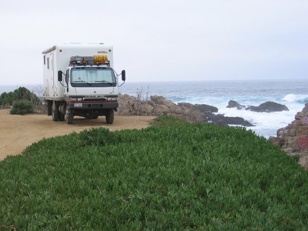
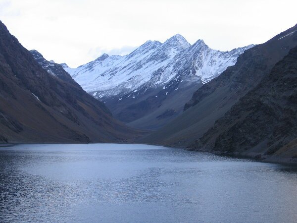
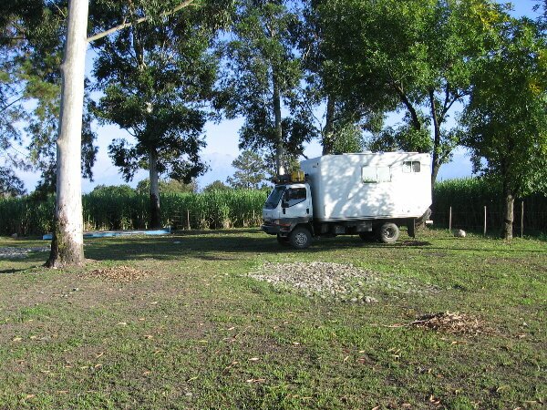
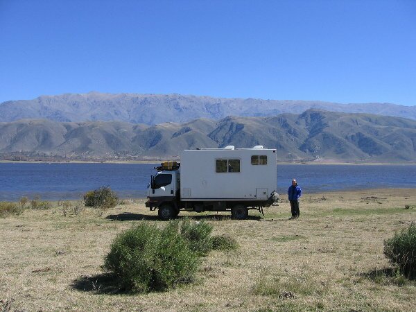
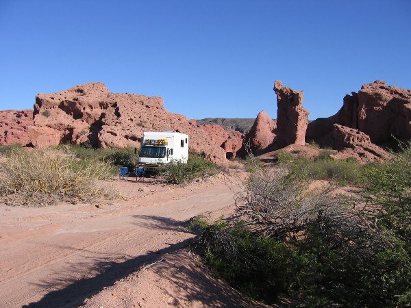
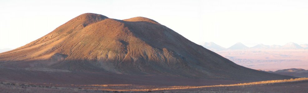
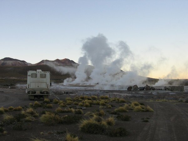
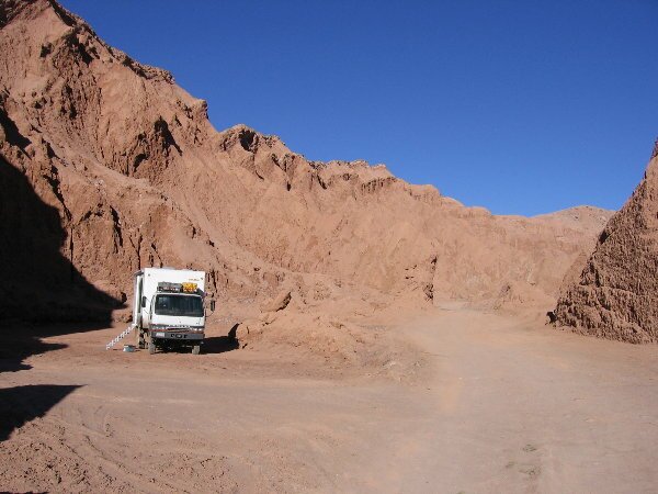
**Click on the photo to see the camping spot** Camping Alborada, KM2 north of Coyhaique on the Puerto Aisen Rd. (Chile) ARGENTINA Esquel, Nahuel Pan Camping, east side of town across from the Petro Bras Station PN Los Alerces, Esquel GPS 42 53.13S 71 36.20N El Bolson, Camping La Chacra, 41 58.28S 71 31.54W Colonia La Suiza, unofficial camping at the Bomberos on Arroyo Goya, 41 05.24 s 71 30.76w Parque Nacional Nahuel Huapi RN231 Km 48, 40 50.40s 71 32.29w CHILE Puerto Octay, Camping Molino on the lakefront. Chacao, Chiloe, town square city camp, 41 49.68s 73 31.51w Tin Tin, 10Km north of Castro, YPF station Ancud, Playa Gaviotas, 3km North of town Paillaco, Rt 5, Carabineros parking area south of town Los Angeles, Copec Station, Rt 5 approx 16 km north of Los Angeles Talca, secure but unattractive parking across from Hostal del Puente, corner of 1 sur and 3 Poriente. Pichilemu, Beach parking at Punta de Lobos 6km south of town, 34 25.63s 72 02.38w El Quisco, beach camp about 5km north of Isla Negra, 33 23.61s 71 42.23 w Con Con beach camp,, behind the restaurant La Pica de Emeterio, 32 55.19s 71 30.69w (Great camping possibility at PN La Campana near Ocoa) Portillo, camp in parking area at Hotel Portillo overlooking Laguna del Inca, 32 50.14s 70 07.79w. 9434 ft elevation/ 2871 mt. ARGENTINA Mendoza, Vina de Vieytes Campground, Chacras de Coria exit, west of Rt 40 in Lujan, 33 00.77s 68 50.39w. Pocito, south of San Juan, KM 154 RT 40, Petro Bras Service Sta, 31 38.58s 68 32.34w. Desert Wild camp Rt 510 south of Chucuma, 31 16.48s 67 14.39w. Ischigualasto Prov. Park, parking area, 30 09.90s 67 50.66w. Catamarca, Municipal Cmpgrd, off Av Republica 4km w of central, 28 27.89s 65 49.98w. Rio Seco (South of Tucuman), YPF Service Station, grassy area, 27 16.61s 65 32.89w. Tafi del Valle, wild camp on the lakeshore closer to El Mollar, 26 55.39s 65 40.97w. Cafayate Municipal Campground, limited space for large overlanders, south side of town on RN40. Quebreda de Cafayate, 15 km north of Cafayate wild camp, 26 01.26s 65 48.16w. Embalse Cobre Corral, approx. 50 km south of Salta, Municipal Campground, 25 17.32s 65 26.42w. Cachi, Municipal Campground, south side of town. PN de Los Cardones, wild camp approx. 37 km west of Cachi on RP33, turn off at 25 09.44s 65 59.44w. Salta, Municipal campground south side of centro,24 48.79s 65 25.18w. CHILE San Antonio de los Cobres, approx 15km west of town, Indigenous farmhouse, 24 14.34s 66 24.68w, 13,134 ft elevation. San Pedro de Atacama, street camp in front of Hostal Katarpe. Monturaqui Meteor Crater, 23 56.90s 68 17.86w. Valle de Luna overlook, west of SP de A, 22 55.05s 68 15.17w. Geysers de Tatio, open parking area at the middle geyser field. San Pedro de Atacama, 3 km west of town, the Cordero del Sal, 22 53.12s 68 12.46w. BOLIVIA Laguna Colorada, right on the lagoon, 22 12.81s 67 47.86w. Laguna Honda, actually just over the hill to the next unnamed lagoon, 21 37.77s 68 04.34 w, 4115 mts. Salar de Chingagua, 2 miles past the military checkpoint along the RR tracks, 21 01.06s 67 55.06w Uyuni, out front of the Tonito Hotel and Minuteman Revolutionary Pizza, great food, lots of info from the owner Chris. 20 27.93s 66 49.50w Potosi, Petrol station on north side of town on road to Oruru, ok due to our large size. Better option, but only for very small vehicles, is the Hostal Tarija, 19 35.07s 65 45.35w Pasna, half way bewteen Oruro and Challapata, EU Project building, 18 35.67s 66 55.46w La Paz, Hotel Oberland, in Mallasa, Zona Sur. Not central but taxi's are cheap and you don't really want to drive into central! 16 34.08s 68 05.36w. If you get to the zoo you've gone too far. Copacabana, on the beach near the fresh trout restaurants. 16 10.07s 69 05.42w. 12,541 ft elevation. PERU Arequipa Highway, approx 80km west of Juliaca. 15 38.18s 70 41.50w. 13,544 ft elevation. Arequipa, Hotel Las Mercedes, 16 24.05s 71 32.53w. Toro Muertos Petroglyphs, near Corire, 16 13..45s 72 30.13w. Puerto Inca, north of Chala, 15 50.32s 74 18.77w. Nazca, Hotel Nido del Condor, across from the airport, 14 51.09s 74 57.54w. (Updated as of June 4, 2006)
South America Camping GPS / locations: Venezuela and Brazil
|